Xcalibur Smart Mapping: Flying high to map the world’s natural resources

The company has signed agreements with Vietnam and the United Arab Emirates to map their natural resources.

An Australian aerial mapping service is helping countries to uncover their natural resources, including the critical minerals underpinning net zero technologies.

Perth-based Xcalibur Smart Mapping is a global leader in the airborne geophysics and mapping industry. The company’s worldwide fleet of more than 40 aircraft are all fitted with proprietary technologies to conduct airborne geophysical and surface mapping surveys. Xcalibur has completed more than 1,500 projects across 6 continents, mapping potential mineral, oil, gas and geothermal resources up to several kilometres underground.

In Papua New Guina, Xcalibur conduced a two-year airborne geophysical survey over an underexplored area of the country. The survey results were made publicly available, leading to a significant increase in tenement applications, exploration activities and the discovery of a number of mines.

Xcalibur’s work is also helping economies to transition to clean energy. After the Fukushima accident in 2011, Japan wanted to pivot away from its reliance on nuclear power. Xcalibur partnered with geodata specialist Fugro to survey geothermal energy sources for the Japan Organization for Metals and Energy Security (JOGMEC).

Xcalibur uses aircraft fitted with electromagnetic technology to survey remote terrains with minimal environmental impact. After surveying many areas in Japan over the past decade, Xcalibur has mapped the location of a number of geothermal resources.

‘Xcalibur’s airborne technology speeds up the process of locating natural resources,’ says David Abbott, Country Mapping Manager, Xcalibur Smart Mapping. ‘By reducing the time and energy spent on ground surveys, we can potentially complete country-wide surveys in months or a few years instead of decades.

‘Our focus on full country mapping surveys provides a comprehensive picture of a nation’s capital resources – both underground and on the surface,’ adds Abbott. ‘This approach benefits both governments and private companies, allowing both parties to make informed exploration decisions.’

Xcalibur has now set its sights on Southeast Asia and the Middle East. With vast underexplored areas, these regions could potentially be major contributors to the global critical minerals supply chain. A local source of critical minerals can also help nations to develop green economy industries.

Watch a video on how Xcalibur is helping nations worldwide to locate natural resources, including critical minerals.

David Abbott: Xcalibur Smart Mapping is the global leader in airborne geohysical surveys and in Australia we have significant experience doing what we do. We fly very very low from both fixed wing and helicopter platforms, and what we're trying to do is detect what is under the aircraft that we're flying, including the critical minerals and the rare earths that are now so important for a just energy transition to renewable energy.

Jane Caforio: As more companies around the world introduce sustainable practices into their operations, this presents tremendous opportunities for Australian companies with these incredible technologies to support international customers and stakeholders to achieve their own net zero goals.

David Abbott: Xcalibur Smart Mapping fly significant surveys in Australia but also around the globe. We have surveys currently being flown in the United States and South America. We're about to start a large project for the Bhutanese Government to assist them with their geological knowledge. And we're also looking at some large projects in Vietnam, Cambodia, Lao, Mongolia, Bangladesh and the Philippines that could also assist all of those countries with their needs for the energy transition.

Jane Caforio: Australia has one of the largest resources sectors in the world. We're also an innovative country, and those innovations often come out of our strong universities and skilled workforce that we have here in Australia. We are very focused on ensuring that what we do is sustainable. It supports communities and we have very strong regulations and practices around that.

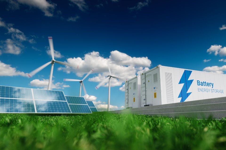
David Abbott: Xcalibur Smart Mapping aims to enhance its role as a strategic partner in the acceleration of the energy transition. Our technology directly supports the net zero transition by mapping the likely locations of essential and critical minerals for batteries, solar panels and wind turbines. Our advanced low impact exploration methods contribute to both climate goals and responsible resource management, which all helps to accelerate the shift to renewable energy and electrification on a global scale.

[End of transcript]

Surveying Southeast Asia

In 2023, the Vietnamese Government unveiled its national development plans for the next 10, 20 and 30 years. One of its goals is to map the country’s geology by 2035.

Austrade alerted Xcalibur to the opportunity and introduced the company to relevant authorities, including the Vietnam Geological Department within the Ministry of Natural Resources and Environment. Austrade also introduced Xcalibur to the Department of Foreign Affairs and Trade (DFAT) for government-to-government support.

‘The introductions and meetings organised by Austrade and DFAT are deeply appreciated,’ says Abbott. ‘They connected us to all the right people. There is no way we could have done it ourselves. The Austrade team was extremely helpful, and the outcome was excellent.’

In December 2024, Xcalibur and the Vietnam Geological Department signed a memorandum of understanding (MoU) to conduct airborne geophysical surveys. Under the MoU, Xcalibur will map and assess natural capital, renewable and non-renewable resources, and geological hazards.

The surveys aim to provide data on potential mineral deposits including critical minerals and other geological features that support Vietnam’s development goals. The project is expected to start in late 2025, focusing initially on the Mekong Delta and central Vietnam.

‘The mapping and hopeful discovery of critical and strategic minerals would enable Vietnam to enter global supply chains,’ says Abbott. ‘A local supply of these minerals would also support Vietnam’s ambitions to develop their electric vehicle and battery manufacturing industries.’

The Vietnam project may lead to similar opportunities in neighbouring Cambodia and Laos. Both countries are looking at the success of the project in Vietnam.

Mapping the Middle East

The Middle East is another focus for Xcalibur. In Saudi Arabia, the company is completing its most significant private-sector project to date. It is partnering with Ma’aden, one of the region’s largest multi-commodity mining and metals companies, to map 200,000 linear kilometres.

The project uses Xcalibur’s TEMPEST system, a fixed-wing airborne electromagnetic system that is purpose-built for regional geological and groundwater mapping, and discrete mineral target mapping. The project will also use the Xcalibur helicopter-borne Helitem system.

‘Saudi Arabia and the United Arab Emirates were interested in bringing the TEMPEST technology to the region,’ says Bart Anderson, Managing Director APAC, Xcalibur Smart Mapping. ‘Austrade introduced us to the relevant civil aviation authorities in both countries, helping facilitate the entry of Australian-registered aircraft into the region.’

In the UAE, Xcalibur and Bayanat are partnering to deploy a geophysical autonomous system, the first such system in the emirates. The system will map natural resources with a focus on critical minerals such as copper, lithium, nickel and cobalt, as well as water, geothermal and hydrogen energy. The partnership supports the UAE’s ambition to be a hub for smart and autonomous vehicles.

A world-first hydrogen-detecting technology

A constantly innovating company, Xcalibur is working on a project with Curtin University in Perth on a technology to map hydrogen resources from the air. The world-first technology uses lasers to detect hydrogen and other gases escaping from the earth. The gas is mapped as a plume to provide dispersion rates and other data to assist exploration activities.

‘It will be a game-changer if we can reach full commercialisation,’ says Abbott.